Global Positioning System (GPS)

- Speed
- Bearing
- Altitude
- Distance to or from checkpoints
- Nearest emergency airports
- Remaining fuel onboard
- Estimated flight times
Introducing the NexGen System
The effectiveness of GPS navigation has caused the Federal Aviation Administration (FAA) to implement a switch from a radar-based system to a satellite-based system. It is known as the Next Generation Air Transportation System (or NexGen), and the FAA is currently rolling it out across the United States. As a result of GPS technology, it will:- Shorten airway routes
- Save time and fuel
- Reduce traffic delays
- Increase airline carrying capacity
- Improve safety
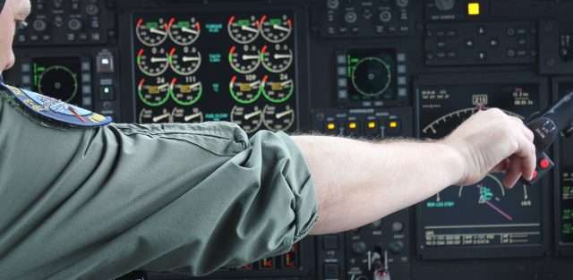
GPS stands for Global Positioning System. It is a highly accurate navigation aid that has become indispensible to aircraft charter operators, business aviation, commercial airlines and the general aviation sector.
The US military developed GPS in the 1970s, and eventually made the system freely accessible to the public in the 1990s. It is widely used in aviation today, and pretty much every aircraft charter comes with a GPS unit as standard equipment.
In a nutshell, GPS uses a series of satellites orbiting around the earth that enable pilots to accurately determine their exact position. It uses the satellites to triangulate an air charter’s location within centimeters. Furthermore, it enables them to track:
- Speed
- Bearing
- Altitude
- Distance to or from checkpoints
GPS is also extremely handy in emergency situations. Pilots can use it to determine:
- Nearest emergency airports
- Remaining fuel onboard
- Estimated flight times
Additionally, pilots are able to use GPS approaches when flying into smaller airfields in inclement weather.
Introducing the NexGen System
The effectiveness of GPS navigation has caused the Federal Aviation Administration (FAA) to implement a switch from a radar-based system to a satellite-based system. It is known as the Next Generation Air Transportation System (or NexGen), and the FAA is currently rolling it out across the United States. As a result of GPS technology, it will:
- Shorten airway routes
- Save time and fuel
- Reduce traffic delays
- Increase airline carrying capacity
- Improve safety


